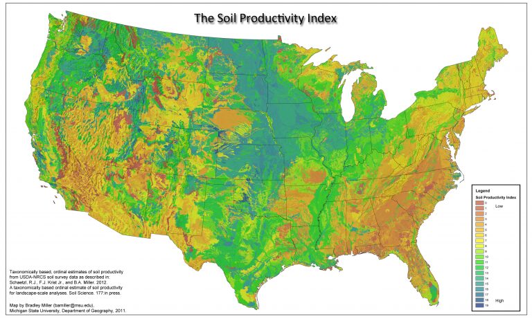
The GIS Data Library provides access to spatial datasets developed or compiled by the Geospatial Laboratory for Soil Informatics (GLSI). These data layers support mapping and analysis of soil properties, land use, topography, and environmental variables. The library includes raster and vector data commonly used in digital soil mapping, geospatial modeling, and landscape analysis, offering a valuable resource for spatial research and applied land management.