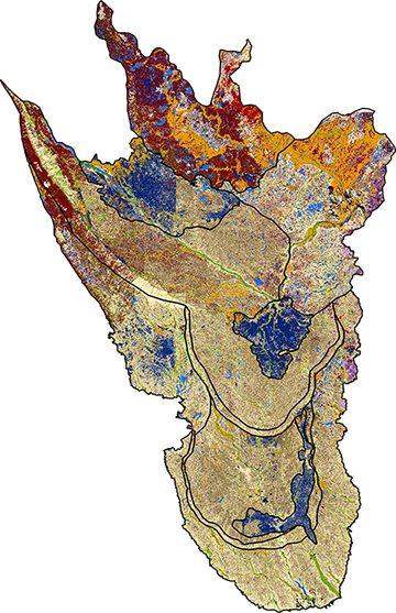
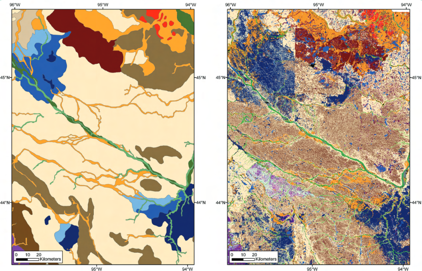
Using soil surveys to map Quaternary parent materials and landforms
The integration of soil survey maps with Geographic Information Systems (GIS) allows for an almost infinite level of collaboration across disciplines that use information related to soil databases. This study created a Quaternary geologic map by categorizing soil descriptions into a geologic context and joining the attributes with the Soil Survey Geographic (SSURGO) database in ArcGIS®. The resulting map communicates many of the spatial intricacies of the Des Moines Lobe landform with 15 map units based on geologic units. Read More
9 March 2008